Treks La Palma


Data sheet of the trail/hiking path 

Description
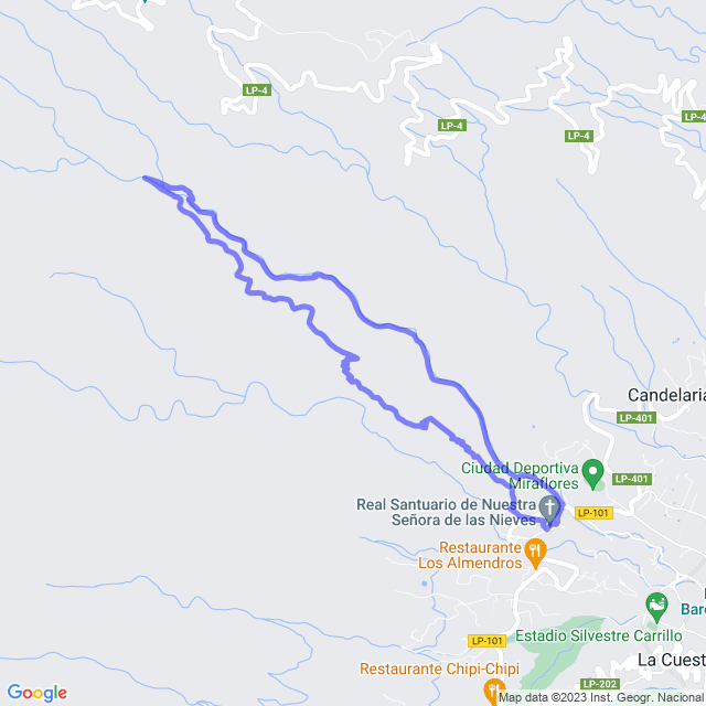
From the car park above the Ermita de Las Nieves, the path goes up towards the mountain. At the beginning it is a dirt road. The path is well signed. The ascent runs through the pine forest for about 5 km (1h45mn) until you reach the channel. Then the path follows the channel. Some places are narrow and can cause vertigo. There are also tunnels, so it is very convenient to have a light source. The channel originates in a gallery from which fresh, crystalline water flows.
From the gallery the path goes down the bed of the ravine following a pipe. It ends at a dirt track that joins the road underneath the Ermita de Las Nieves.
For this route it is highly advisable to first find out about the state of the path from the Cabildo, as there are often landslides that can block the passage. Also be careful with vertigo.
More information: https://es.wikiloc.com/rutas-senderismo/barranco-de-la-madera-la-palma-145950057
Feedback(0) 
Fotos de la ruta - Video 3D
Recommendation for hiking:
Consult previously the state of the hiking paths with the Cabildo - Parque Nacional de Taburiente


